
Hello and welcome to the details of UN warns El Niño set to peak in December as climate change fuels extreme floods and droughts and now with the details
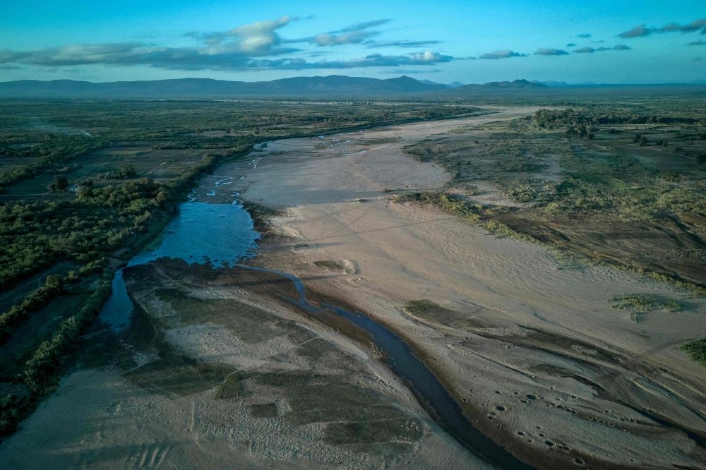
Nevin Al Sukari - Sana'a - The World Meteorological Organisation has warned of ‘increased drought risk’ in southern Africa as the El Nino hits in October, with countries across the planet — from Brazil to India — also vulnerable. — AFP pic
GENEVA, Oct 8 — El Nino will intensify even more before peaking in December, the United Nations said Thursday, warning it could be among the strongest witnessed since at least 1950.
The naturally occurring weather phenomenon is set to bring higher temperatures to much of the planet, the UN’s weather and climate agency said, with its impact compounding the effects of man-made climate change.
“El Nino will continue to intensify ahead of its forecast peak in December,” the World Meteorological Organization (WMO) said in its monthly Global Seasonal Climate Update.
“It is likely to bring above-average temperatures to much of the globe and shift rainfall patterns, increasing the risk of drought and floods in different regions.”
El Nino warms surface temperatures in the central and eastern equatorial Pacific Ocean, bringing worldwide changes in winds, pressure and rainfall patterns.
It typically takes place every two to seven years and lasts around nine to 12 months.
Conditions oscillate between El Nino and its opposite La Nina, with neutral conditions in between.
El Nino ‘strengthening rapidly’
“Sea-surface temperatures in the central and eastern tropical Pacific are forecast to increase to record levels during October-November-December 2026, reflecting the strengthening of the El Nino event which will drive weather patterns and impact economies, ecosystems and communities across the globe,” the WMO said.
The forecast is based on consensus across 13 leading national and international meteorological centres.
“El Nino is firmly established and strengthening rapidly,” said WMO chief Celeste Saulo.
“WMO forecasts indicate a near-100 percent likelihood that it will persist through February 2027, potentially being one of the strongest since at least 1950.”
Saulo explained that El Nino does not add new heat to the planet, but releases heat being stored in the ocean.
“The ocean it’s drawing from is the warmest we’ve ever measured it. There is simply more heat available to release,” she said.
Sea temperatures record
The index which measures sea surface temperature anomalies across the central-eastern equatorial Pacific — the region at the heart of El Nino — increased from 1.6C above normal in June to 2.5C above normal in August.
For October-November-December, the anomaly is forecast to reach approximately 3.7C above normal.
This would be the highest since observations began, eclipsing the previous record of 2.6C set in 2015-2016.
The last El Nino contributed to making 2023 the second-hottest year on record and 2024 the all-time high at around 1.55C above the 1850-1900 pre-industrial average.
While El Nino usually peaks between November and February, the resulting spike in temperatures typically comes later.
This El Nino is already hitting some regions hard, including in Central America, where animals and crops are dying from drought. — AFP
These were the details of the news UN warns El Niño set to peak in December as climate change fuels extreme floods and droughts for this day. We hope that we have succeeded by giving you the full details and information. To follow all our news, you can subscribe to the alerts system or to one of our different systems to provide you with all that is new.
It is also worth noting that the original news has been published and is available at Malay Mail and the editorial team at AlKhaleej Today has confirmed it and it has been modified, and it may have been completely transferred or quoted from it and you can read and follow this news from its main source.